The extreme weather variability observed across Australia in late August will become even more pronounced through the first days of spring.
After further summer-like heat this weekend, a polar air mass will arrive from Monday, bringing snow, hail and storms to the south, while establishing a 40 degrees Celsius temperature disparity across the nation.
The conflict between warm and cold air has already generated fierce gales this week, and its intensification could lead to even stronger winds and further damage across south-eastern states during the coming days.
Antarctica to bring spring relief from winter heat
The last days of winter have continued to bring record heat to Australia, but the first days of spring will ironically bring a vigorous cool change.
A frigid air mass has already begun moving north from Antarctica and it will reach the south-eastern states on Monday, before finally flushing the heat from southern Queensland and central Australia by Tuesday.
The sudden switch from a tropical to a polar air mass will lead to 24-hour drops of up to 10C — with the temperature falling briefly below average after weeks of continuous warmer-than-normal days.
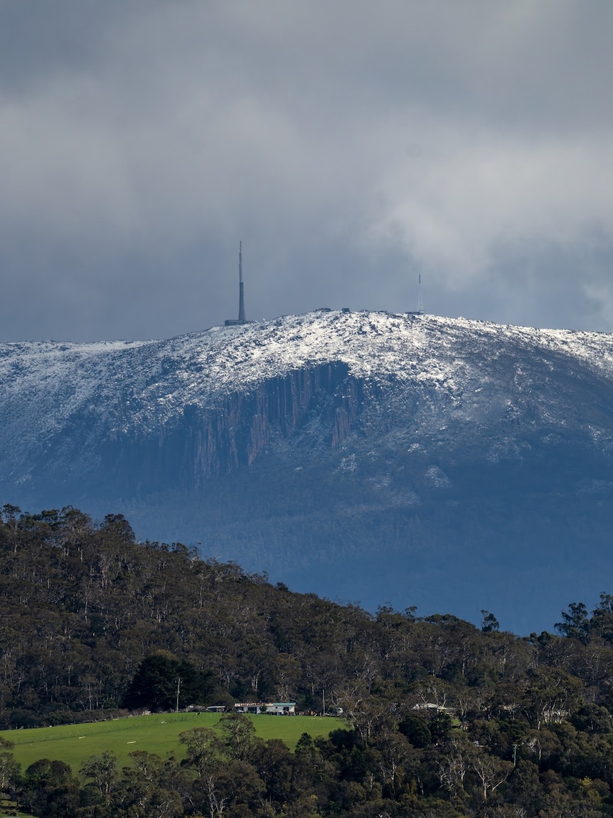
The cold air will also cause small hail and the odd rumble of thunder across south-eastern states on Monday, along with snow on the ranges, falling down to an elevation of around 500 metres in Tasmania, 800 metres in Victoria and 1,000 metres in southern New South Wales.
The heaviest snow will blanket highland Tasmania where weekly accumulations, including dumps already this week, should exceed 1 metre.
The heavy precipitation there has triggered numerous flood warnings across the state, and a flood watch is warning of additional river rises across western and northern catchments this weekend.
Snow and wintry temperatures are not unusual in spring due to a delayed warming of Antarctica, which still provides a source of cold air to Australia when the wind blows from the south.
Snow and wintry temperatures are not unusual in spring due to a delayed warming of Antarctica. (Supplied: antartica.gov.au)
However, unlike a mid-winter pattern, cold outbreaks in September are interspersed with much warmer weather as the Sun migrates to a higher and therefore more intense angle over Australia.
So, while it is too early to completely pack away the winter wardrobe, the spring seesaw will ensure warmer weather quickly returns later next week.
Last days of winter bring further records
The incredible run of August heat across the country has continued into the last days of the season, including in Birdsville which reached 39.7C on Friday — the highest winter maximum on record for Queensland.
Dozens of other locations also broke August and winter records on Friday as temperatures soared as much as 16 above average, including:
Queensland
- Mount Isa 37.6C – new winter record
- Longreach 37.7C — new winter record
- Camooweal 37.8C — new winter record
NSW
- Bourke 37.1C – new winter record
- Tibooburra 36.0C — new winter record
- Cobar 32.6C – new winter record
- Sydney Airport 31.6C — new winter record
NT
- Alice Springs 36.6C — new winter record
- Uluru 37.45C — new winter record
- Tennant Creek 36.4C – equalled winter record
At Sydney’s official station at Observatory Hill the mercury reached 30.3C, the city’s third-warmest winter temperature on record (the record is 31.3C from 1995).
Slightly cooler air is spreading across NSW and the southern NT today, however the odd record is still possible in Queensland, the NT and northern WA
Brisbane is predicted to hit 35C, which could challenge its winter record of 35.4C from August 2009.
Westerly gales to peak on Sunday and Monday
The spell of wild westerly winds currently thrashing south-east Australia will increase further late on Sunday, rivalling the force of Wednesday’s gales which reached speeds equivalent to a category 2 tropical cyclone.
The ongoing gales are due to a sharp temperature differential between the heat over the mainland and cold air near Tasmania, however as the polar air approaches the south-east on Sunday this gradient will become even tighter.
Peak winds later on Sunday and Monday are likely to exceed 125kph along parts of the coast and ranges, sufficient to bring down trees, powerlines and cause minor property damage.
The gales should ensure wind warnings for damaging to destructive gusts are re-issued for much of Tasmania, Victoria, and southern parts of NSW and SA.
Calmer weather will return to the south-eastern states from Tuesday.


