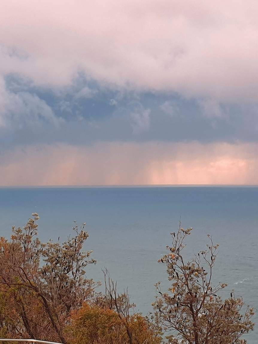
Three separate cloud bands sweeping across Australia during the coming week are likely to drop at least a few millimetres of rain on every patch of ground south of Brisbane to Geraldton.
The rain will end the recent south-east cold snap and should bring solid falls in excess of 25mm to key farming areas through the Murray Darling Basin, South Australia and western Western Australia.
The development of the first rainband over the interior coincides with an update of Bureau of Meteorology (BOM) seasonal forecasts, which now tip a wetter than normal winter and spring across most of Australia.
The rising prospects of a wet 2024 continues the recovery from the short, sharp El Niño-induced drought during the corresponding period last year, however, extreme 12-month rainfall deficits persist through Tasmania and southern parts of South Australia, WA and Victoria.
Rainbands bring wet week from WA to east coast
The first of the three rainbands already formed across Australia’s interior on Friday and is now thickening from the Great Australia Bight to south-west Queensland, as humid tropical air feeds into a hovering pool of polar air over SA.
The band’s north-east to south-west orientation is unusual for winter and is partly the result of the near-record high pressure being observed across Tasmania.
The high’s broad influence is leading to an unseasonable infeed of tropical moisture from the north-east— a pattern more commonly seen during the northern wet season.
The rainband will shift east through Sunday and Monday to northern NSW and southern Queensland, bringing up to 50mm of rain to the eastern outback, easily exceeding the area’s average rain for an entire winter.
In the meantime, a cloudband will also push onto the WA west coast on Sunday near a weakening cold front, bringing up to about 10mm.
The front will weaken further before reaching south-east states on Monday and Tuesday, and only produce up to 10mm of rain, including light falls over drought-affected parts of southern SA and western Victoria.
Vigorous front with further rain next week
After a week where our weather has been dominated by an intense blocking high near Tasmania, the weather charts will rapidly transition to a typical mid-winter pattern this coming week.
A third cloudband will spread across WA during Tuesday and Wednesday as a strong cold front surges north from the Southern Ocean.
The system will drive gusty showers and storms across the state that could drop up to 50mm of rain from about Perth to Walpole and prompt warnings for damaging winds.
The front, and associated rainband, should then reach south-east states from Thursday and has the potential to bring widespread falls of about 10mm to 30mm to the parched southern SA and south-west Victoria.
Heavier totals near 50mm are possible across northern and western Tasmania.
The system also has the potential to bring strong winds and much-needed snow to the alps.
Despite cold temperatures this winter, snowfalls have been lacking, and resort cover is particularly thin at lower elevations.
Some modelling shows the potential for 30cm of fresh snow, however, there is also the possibility of significant prefrontal rain.
Icy nights to finally thaw
The abnormally strong high-pressure system of the past week has ensured cold and frosty nights for south-east states this week.
Liawenee in inland Tasmania recorded four consecutive nights below -10C, while Adelaide shivered below 1C, the city’s lowest temperature in 18 years.
So how does high pressure bring frost? The coldest nights occur when cloudless skies and light winds follow a cool winter’s day, the exact conditions that prevail near a high-pressure system in winter.
This is due to highs developing when air is sinking towards the surface, and with the exception of fog, descending air typically prevents cloud formation.
Conversely, cloud cover traps heat by reflecting escaping radiation (or heat) back to the ground.
Calm winds under a high also enhance overnight cooling, as winds churn up the lower atmosphere and prevent a slim layer of cold air forming near the ground.
After waking to one more icy morning on Sunday, relief will arrive during the coming week as the high finally drifts into the Tasman Sea and is replaced by the above mentioned cloud bands and gustier winds.
Minimums will climb by as much as 10C as a result, including 11C in Adelaide on Monday and 9C in Melbourne on Tuesday
Wet winter and spring now tipped by BOM
This week’s rain could be the start of a wetter-than-normal few months for much of Australia, the opposite pattern from 2023 that included the nation’s driest August to October on record.
The latest seasonal forecasts from the bureau indicate for the August to October quarter, most of central and eastern Australia is likely to receive above median rain, with the odds as high as 80 per cent across pockets of western Queensland.
The prospects of a wetter or drier three months have near even odds for much of WA, while only south-west TAS, and the far northern coast of the mainland is likely to be drier than normal.
The favourable outlook for rain is due mainly to a cooling Pacific, and the possible transition to La Niña.
However, with La Niña’s development stalling during June, along with the usual challenges of long-range forecasts, a wet finish to 2024 is far from guaranteed.


