- In short: A world-first internet portal is making it possible to access sea floor habitat research from around Australia in one place
- What’s next?: A data analyst says the resource will help identify where best to invest research dollars.
Have you ever thought about what sea creatures roam the ocean floor off Tasmania’s east coast?
Or what kind of plants live at the bottom of the Coral Sea?
A world-first, continental-scale internet portal led by marine analysts from Hobart’s Institute of Marine and Antarctic Studies (IMAS) has made it possible to find out.
Seamap Australia is an online tool that provides collections of sea floor habitat data from around the country.
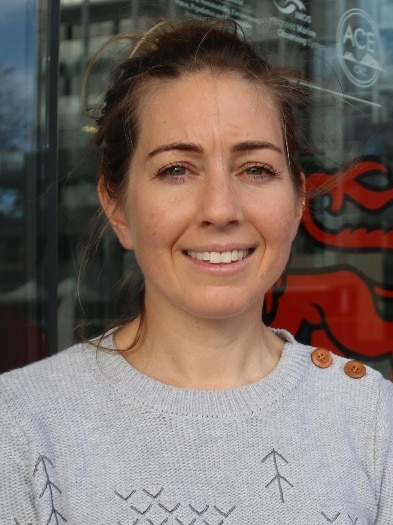
“It brings together really big data streams from national research aggregators from around Australia, and delivers it through a single mapping portal where you can interact with the data in a highly visual way,” said Seamap technical lead Emma Flukes.
“If, for example, you’re interested in watching videos of fish on the sea floor that are eating a bait bed you can click on points on a map of Australia and view video clips of fish snacking on bait bags,” she said.
The tool can be used to identify different habitats that are vulnerable to marine pests and pinpoint rare or important ecological hotspots.
It can also help assess environmental impacts before approving developments such as for oil and gas.
“When there are proposals that are put forward for developing a certain area of sea floor … you need to know quite a lot about that area [like whether] there are special ecosystems that are living on the sea floor,” she said.
“Unless you have a comprehensive inventory of what’s going on there, then it’s very possible that decisions are made to allow or disallow activities, just based on there not being enough data available.”
Dr Flukes said Seamap was the first tool of its kind to map and consolidate all available marine habitat data from around the country.
“We looked at a lot of different portals and software tools to try and draw inspiration for various features [but] we weren’t able to discover anything that works at that sort of scale,” said Dr Flukes.
The online resource will also help identify areas that are ripe for future scientific exploration.
“It’s quite amazing that at a national scale, we haven’t brought together the different types of research streams into one place,” she said.
“As a result, that often means that researchers will plan their surveys in areas that have already been surveyed or don’t need to be.
“Rather than having 100 different places to go to discover data, you can go to the one map. As a result, that often means that researchers will plan their surveys in areas that have already been surveyed or don’t need to be.
“Rather than having 100 different places to go to discover data you can go to the one map.
“[It] means managers can understand where to best invest research dollars in data collection and processing.”
‘Bridging the gap’ for everyday users
Dr Flukes said Seamap aimed to make science and marine research more accessible.
“What you can do is bring together information that’s important about understanding the value of a particular area and making that [information] accessible and up to date.”
“It’s really about bridging that gap between researchers and end users who are not experts.”
Loading…
Posted , updated


