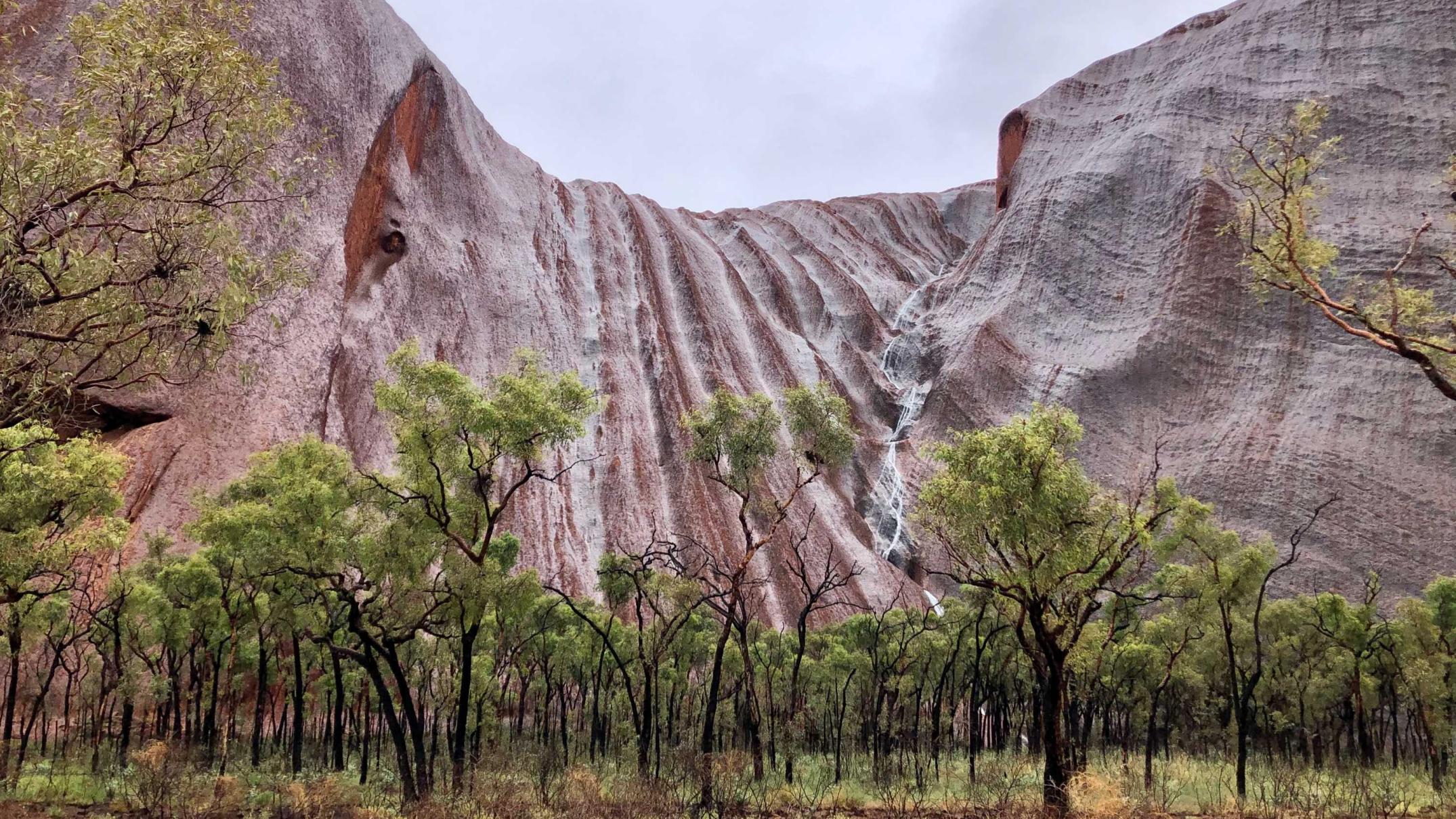
The much-discussed La Niña phenomenon has brought the best wet season for years in the Top End and a welcome change to rainier conditions for most of the country, but some still missed out this summer.
Key points:
- BOM suggests wetter than average conditions are expected to continue for eastern Australia
- La Niña is set to bid farewell but there are encouraging signs of rain for those who need it
- Bushfires risks will remain for parts of WA and Queensland this autumn
And the Bureau of Meteorology [BOM] autumn outlook is for wetter-than-average conditions in the east.
According to BOM climatologist Naomi Benger, La Niña will continue to wield influence into autumn even though it is weakening.
“The typical lifecycle of La Niña is that it decays through autumn,” she said.
“We are expecting it to decay through early autumn, but we are still seeing quite strong signals in the atmosphere, even though some of the oceanic measurements are hinting towards the decay.”
Hence, encouraging signs of rain in areas that need it.
Loading
“We are expecting above average rainfall in eastern and some northern parts, including those parts of Queensland that have missed out so far this year,” Dr Benger said.
And cyclone season isn’t over until the end of April.
Loading
Above-average minimum temperatures are expected to continue across most of the country, with the exception of central and western South Australia and south-eastern Western Australia.
Daytime temperatures are expected to be above average for the far north and south as well as the far west.
Bring on the wet
So far, La Niña’s impact has fallen well short of infamous flood years like 2011 and 1974.
Summer still has a few days to go and, according to Dr Benger, rain has been above average for the nation as a whole and the highest seen since the summer of 2016-17.
The Top End is finally enjoying a wet season worthy of the name after the last two failed. The Red Centre is tinged with green and Uluru’s valleys have become waterfalls several times this summer.
Trevor Durling, senior planning engineer at the Northern Territory Power and Water Corporation, said its water supply security is currently well placed thanks to the above average rains they have had so far across the Territory.
“The Darwin River Dam is currently at approximately 80 per cent capacity, the highest it has been since 2018, when it last overflowed,” he said.
Loading
The level dipped as low as 50 per cent capacity prior to this wet season’s rains.
“With the ground saturated, we are expecting further runoff into the reservoir from the catchment regardless of how much additional rain there may be,” according to Mr Durling.
“There are still two months of the wet season ahead, so we anticipate further good rainfall in the Top End region.”
Fiery in the south-west
For Western Australia, the biggest impacts of the La Niña weather pattern have been felt in the water.
For most of January WA’s vast coastline was under marine heatwave conditions, 2-3 degrees above average in Geraldton and Broome.
Like the Northern Territory, pastoralists in WA’s north are also hailing it “the best start to the wet season” in years.
But as in the years preceding it, La Niña has brought little rain for southern Western Australia, with little reprieve for firefighters facing challenging conditions.
A rainfall deficit in the winter and spring made southern WA one of the few places with “above normal” fire severity for December to February.
Parts of New South Wales west of the Great Dividing Range, the grassland area of the ACT and north eastern Victoria were also considered above normal.
Department of Fire and Emergency Service (DFES) WA rural fire division executive director Murray Carter said crews had battled several fires this year, the worst of them the Wooroloo bushfires, in Perth’s east, which destroyed 86 homes this month.
Mr Carter said a slow-moving tropical low that inundated the Gascoyne region at the start of this month had provided some benefit to the southern part of the state.
In the space of two days in February, Perth received almost three times its monthly average of rain.
Loading
“It’s taken us from above average and worrying conditions to average,” Mr Carter said.
But he warned the bushfire season was far from over.
“Western Australia will be on an average outlook but I don’t want to sell that short because average for us is still serious fire conditions,” he said.
Bushfire outlook
That was a sentiment echoed by John Bates, research director at the Bushfire and Natural Hazards Cooperative Research Centre.
The official autumn bushfire outlook suggests most of the country can expect average fire conditions this autumn.
But according to Dr Bates the risk of grass and crop fires continues in the coming months, particularly where rain has created good growing conditions.
“Autumn will still see hot and windy days that raise the fire risk in some locations,” he said.
Areas that have missed out on rain so far in Queensland are at above average risk.
“But when the weather conditions allow, the March to May period is a good time of year for prescribed burning,” according to Dr Bates.
“However, in northern Australia, the good wet season means that prescribed burning will be difficult in the coming months.”


