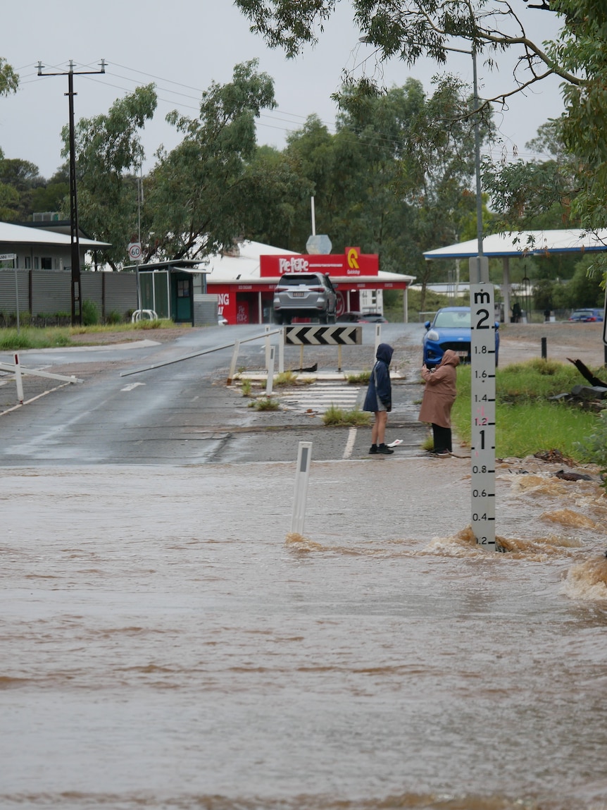
An exceptional soaking across outback Australia has broken all-time rain records, caused dry Northern Territory rivers to flood, and will supply another boost to waters already flowing south into Kati Thanda-Lake Eyre.
The current rain event has triggered flood watches for more than 40 Queensland and NT rivers, prolonging a productive northern wet season which has brought frequent soakings deep into the country’s interior.
And there’s still more rain to come this week — the spell of showers and thunderstorms will continue across much of northern and central Australia this week, before possibly moving south this Easter, and potentially dampening the back half of the long weekend in parts of South Australia, New South Wales and Victoria.
Rain flooding interior now spreading to Queensland
It has been an incredible week of rain for Australia’s interior, and totals this month are now passing all-time records in some locations.
The rare desert drenching has followed a similar script to previous flood events this wet season – a cyclone crosses the coast then stalls and supplies abundant tropical moisture to separate weather systems.
On this occasion, the culprit is Ex-Tropical Cyclone Megan which hovered over the Kimberley this weekend and provided moisture to a trough moving through central Australia.
So how much rain has fallen? Some of the more impressive rainfall statistics this month to 9am Monday include:
- 444mm at Rabbit Flat (near WA border) – wettest month on record with data to 1969
- 200mm at Territory Grape Farm (about 140km north of Alice Springs) – wettest March on record with data to 1987
- 258mm at Arltunga (85km east of Alice Springs) – wettest month since 1974
The weekend downpours caused the typically dry southern NT rivers to flow this weekend, including the Todd River through Alice Springs where more than 150mm was recorded in three days, more than five times the monthly average and the town’s wettest 72 hours in nine years.
Rain was still falling over much of the NT on Monday, but the focus of the event shifted east to Queensland, including a whopping 104mm at Hughenden in the 24 hours to 9am, the town’s heaviest March rain in 30 years.
The heaviest rain should migrate to the Queensland coast from Tuesday to Thursday, including possible pockets over 100mm from Bundaberg to the Gold Coast
While the coast is soaked, the humid air mass from the north will also maintain showers and thunderstorms across western Queensland and the NT through the week, prompting warnings for flooded roads and isolation of communities.
A summer of cyclones to fill Kati Thanda-Lake Eyre
In late January and early February, Ex-Cyclone Kirrily was dumping hundreds of millimetres of rain across western Queensland and satellite imagery last week shows that water has finally reached northern Kati Thanda-Lake Eyre.
The floodwaters have spent the past two months travelling thousands of kilometres south from Queensland, and are now entering the dry SA salt lakes, the lowest part of Australia.
There is no official forecast on the water depths likely during the coming weeks and months, however the current rain event has brought further falls in excess of 50mm to northern parts of the Kati Thanda-Lake Eyre catchment, enough for another boost in flows draining south.
And even more rain is likely this week with modelling indicating another 20 to 100mm.
Rain possibly spreading south this Easter
The influx of tropical moisture across the central outback could travel further south this weekend and lead to rain across parts of southern Australia.
The exact location and intensity of Easter rain is still uncertain, but modelling indicates more than 50mm could reach northern SA and possibly western NSW on Monday.
It’s possible the southern edge of the rain could even reach Victoria, although those hoping for a dry Easter could be in luck – some modelling keeps the rain over the central outback right through the long weekend.
So while Easter rain may hold off across south-east states, eventually it should arrive with all modelling at some stage next week forecasting widespread rain from the interior will shift south.
Posted , updated


