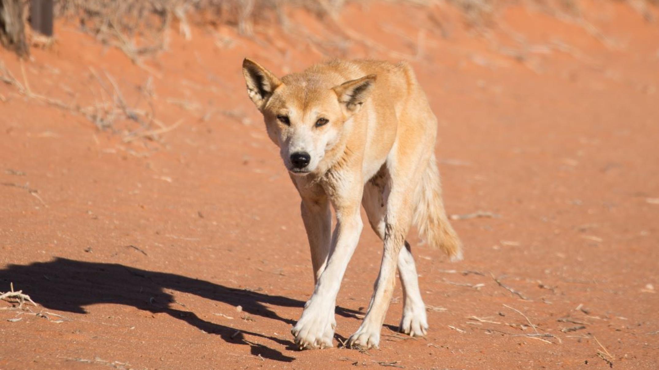
Australia’s dingo fence is one of the world’s longest structures and researchers at the University of New South Wales have been observing it from space for more than three decades.
Key points:
- Researchers have studied satellite images of Australia’s Dingo Fence where the SA,NSW,QLD borders meets
- Over three decades they found a stark difference of vegetation coverage on each side of the fence
-
Less coverage was found on the side where dingoes are excluded
Built in the 1800s, the fence was made to keep livestock safe and away from dingoes in the relatively fertile south-east corner of Australia.
But it is not the structure itself that has caught the eyes of Mike Letnic and Adrian Fisher, it is the stark difference in vegetation that is occurring on each side of the fence.
The researchers have conducted longitudinal studies using NASA satellite vision focusing on Cameron Corner, where the SA, Queensland and NSW borders meet.
Professor Letnic said dingoes were indirectly affecting vegetation by controlling numbers of kangaroos and small mammals.
“When dingoes are removed, kangaroo numbers increase, which can lead to overgrazing,” he said.
“This has follow-on effects to the entire ecosystem.”
The researcher says there is a clear difference between vegetation in NSW’s Sturt National Park, which falls within the Dingo Fence, compared to land in SA and Queensland that contains livestock.
Balancing act for dingo fence
Professor Letnic said there were benefits for ecosystems having dingoes, but there were other issues to consider when questioning the future existence of the dingo fence.
“There’s better plant growth, smaller animals do better, and dingoes keep fox numbers down,” Professor Letnic said.
Importance of space technology
Dr Fisher, a UNSW remote sensing specialist, processed and analysed the satellite images for the study and said they used a model to factor in non-green vegetation, like shrubs, and dry leaf matter.
Space to play or pause, M to mute, left and right arrows to seek, up and down arrows for volume.
“Because the satellites are seeing across other wavelengths of light that our eyes don’t see, they see infrared,” he said.
“By using that information, we’re able to see more of the vegetation, which is especially important when studying a desert landscape.”
The analyst said the project highlighted the importance of Australia developing its own space infrastructure in the future.
“We could develop something that was suited more for Australian arid landscapes,” Dr Fisher said.
“We might be able to put up a slightly different sensor, or a range of sensors, on satellites and we might get more regulated data and look at how things change more frequently.”


